Will Lake Erie Wind and Waves Let Me Fish This Weekend? – Part 2
- Joseph Golob
- Apr 23, 2025
- 2 min read

In my previous blog, I explored how apps like iWINDSURF and Windfinder can help gauge whether the Lake Erie wind and waves are right for fishing this weekend. Now, as you stand at the launch or dock, you need real-time insight into what’s happening on the water. That’s where weather buoys prove invaluable—floating data hubs that reveal whether Lake Erie is calm or raging.
Decoding Buoy Data: What You Need to Know
Weather buoys provide critical wind and wave information, including:
Wind Speed & Direction – Helps determine how choppy the lake will get.
Significant Wave Height – The average of the highest one-third of waves over a 20-minute period.
Wave Period – The time between wave crests, which manifests as “roughness”.
Wave Direction – Where the waves are coming from, crucial for navigation.
Where to Find Lake Erie Buoy Data
NOAA’s Weather Buoys
The network of buoys maintained by NOAA throughout the ocean and Great Lakes provides data for the important NOAA marine nearshore and offshore forecasts, which are widely utilized.
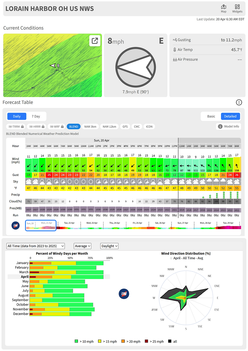
A well-known Lake Erie NOAA buoy located 16 miles northwest of Lorain, OH (Station 45005), is a go-to for western and central basin anglers. Often referred to by fisherman as simply “The Weather Buoy”, it provides wind speed, direction, and significant wave height—all accessible via NOAA’s website.
However, this buoy isn’t deployed year-round, and with potential federal budget cuts, many worry about the future of NOAA’s buoy network.

LimnoTech Smart Buoys: A Game Changer
Thanks to the Cleveland Water Alliance’s Smart Lake Erie Watershed Initiative, Erie is now the largest digitally connected freshwater body in the world.
LimnoTech, in partnership with its subsidiary Freeboard Technologies, operates sophisticated smart buoys across the Great Lakes, including Erie. There are a total of 14 buoys and multiple other sensors and stations located throughout Lake Erie. These buoys provide near real-time data, and are available on their website free of charge (https://data.freeboard.tech/stations/). Each buoy offers slightly different information and includes:
Wind speed, direction, wave height and maximum wave height
Turbidity (water clarity) – Useful when hunting mudlines
Multi-depth water temperatures – Helps identify thermoclines
Solar energy & water quality metrics
The best part? You don’t even need to check the website—just text your favorite buoy’s ID to 866-218-9973, and you’ll instantly receive water temperature and wave height on your phone!

Final Thoughts: Making Smart & Safe Fishing Decisions
Apps like iWINDSURF and Windfinder help forecast conditions days in advance, but NOAA and LimnoTech buoys provide real-time snapshots of Lake Erie wind and waves—essential for safe and strategic fishing trips.
Whether you're planning ahead or checking conditions the day of your trip, these tools help ensure you're not caught off guard by Erie’s sudden mood swings.